


SURVEYING ENGINEERING DEPARTEMENT
Background Information
Surveying is a discipline which encompasses all methods for measuring and collecting information about the physical Earth and our environment, processing that information, and disseminating a variety of resulting products to a wide range of applications. Surveying Engineering is also an information technology discipline in which engineers acquire, model, analyse, and manage spatially referenced information and apply the knowledge generated to a wide variety of functions. It uses terrestrial, marine, airborne, and satellite-based sensors to acquire spatial and other data. It then transforms the data into common information systems such as mapping or global positioning systems (GPS) with well – defined accuracy characteristics. Surveying has been important since the beginning of civilization. Its earliest applications were in measuring and marking boundaries of *property ownership. Throughout the years, its importance has steadily increased with growing demand for a variety of maps and other spatially related types of information, and the expanding need for establishing accurate line and grade to guide construction operations.
Today the importance of measuring and monitoring our environment is becoming increasingly critical as our population expands, land values appreciate, our natural resources dwindle, and human activities continue to stress the quality of our land, water, and air. Using modern ground, aerial, and satellite technologies, and computers for data capturing and processing, contemporary surveyors are now able to measure and monitor the earth and its natural resources.
To this end, in a developing country like Ethiopia, Surveying Engineering has a great role and contribution to the economic development and improvement of the living standard of the people. Therefore, as clearly stated in the mission statement of some Ethiopian Universities, to improve the livelihood of the nation, it is a must to focus on study areas which speed up the achievement of the envisaged sustainable development besides to serving there would be Surveying Engineer in every dimensions.
Objectives
In addition to the general objective of the University, the B.Sc. program under interest in particular
is expected to bring about change in the field of Surveying through the development of practice
oriented education, research and producing surveying Engineers who will contribute to the
country’s social and economic development and substantially reduce poverty.
is expected to bring about change in the field of Surveying through the development of practice
oriented education, research and producing surveying Engineers who will contribute to the
country’s social and economic development and substantially reduce poverty.
Goal
The goal of the program is to train students with the necessary skills, knowledge and attitude to become a Surveying Engineer.
Mission
Preparing young men and women to lead productive and rewarding professional lives at the forefront of Engineering in the 21st century and pursues research and linkage with the industry to advance the state-of-the-art in surveying engineering education.
Vision
The Vision of Surveying Engineering is to be one of the top 20 Department in Ethiopia by 2025 through the provision of quality education, research and consultancy service in Engineering Structure projects and Production of Map.
Staff profile
ON DUTY STAFF PROFILE
|
Acc.level
|
Expatriate (PhD),Asso.PRO&Local
|
Lecturer
|
Assistance Lecturer
|
Lab. Assistance
|
||||
|
Sex
|
Male
|
Female
|
Male
|
Female
|
Male
|
Female
|
Male
|
Female
|
|
No.
|
0
|
0
|
1
|
0
|
6
|
1
|
6
|
1
|
|
Total
|
|
1
|
7
|
7
|
||||
|
15 total staff
|
||||||||
Admission of students to higher Education institutions in Ethiopia is based on their
performance in the Ethiopian Matriculation Examination (taken by students following pre University Program called Preparatory Program). Students who have successfully completed
the 10 plus 2 years preparatory and have passed the entrance exam could apply for admission
to the Surveying Engineering Department. In view of the high number of applicants, admission
to the Department is rather competitive at the moment. Admission to undergraduate degree programs with advanced standing level, for students already holding relevant diploma level qualification is processed by and granted through the office of the registrar of the University. Students may apply for advanced standing admission to the office of the registrar within a specified time, if they:
-
Have diplomas from a higher learning institution accredited by the Ministry of
Science and Higher Education (MoSHE); -
Present supporting recommendations from their employers where applicable he/she
need to produce financial evidence to support their education;
-
Meet the selection criteria of the department
National Collaboration
1. Ethiopian Map Authority
2. Ethiopian Geospatial Institute
3. Bahirdar University Geospatial Technology Center
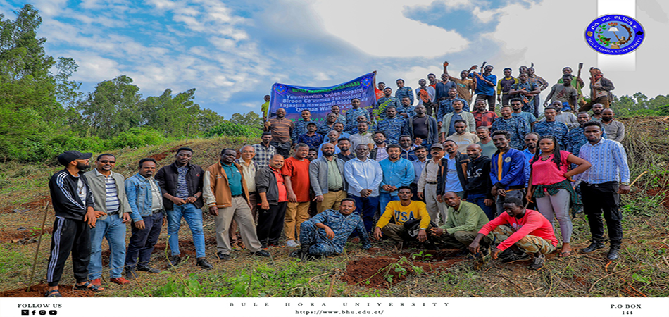
4. Bule Hora University Geospatial Technology Center
5. Ethiopian Roads Authority
6. Ministry of Urban Development and Construction
7. Federal Urban Land and Land Related Property Registry and Information Agency
Academic Programs
1. Bsc. in Surveying Engineering
Head Department: Mr. Denbobi Chuluke- BSc. ( Lecture)
Email: danbobichuluke@gmail.com
Tel: +251-916996884
P.O.Box- 144,Bule Hora ,Ethiopia